Primary Industry
-
IndustryBusiness Consulting and Services
-
Size2-10 employees
-
Company TypePrivately Held
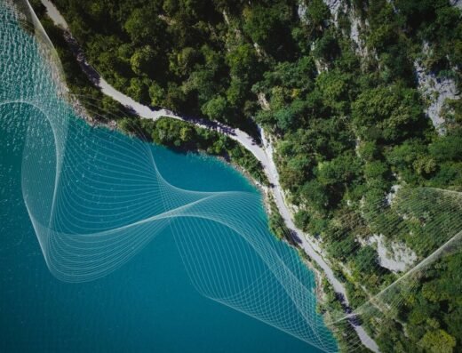
Acre Insights uses LiDAR for biomass/carbon mapping in forests and farms with accuracy and integrity. By closing the “smallholder blind spot” that satellites often miss, we help agribusinesses, carbon developers, and NGOs generate trusted data for climate finance and sustainability reporting. From biomass mapping in forestry to aquaculture innovations, our mission is to make monitoring nature affordable, scalable, and credible across Africa.
From solving crop productivity challenges to serving aquaculture and sustainability sectors, Acre Insights has expanded to provide versatile drone services across industries.
Our mission is to empower businesses with actionable insights through cutting-edge drone and GIS technology.