Primary Industry
-
IndustryTechnology, Information and Internet
-
Size2-10 employees
-
Company TypePrivately Held
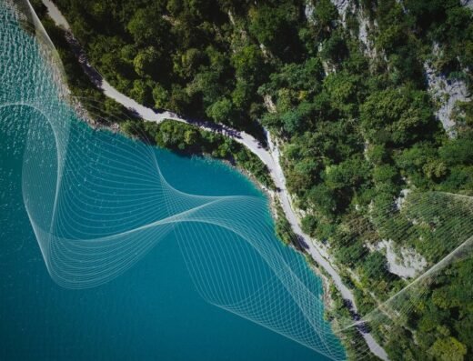
Using satellite imaging, we estimate forest carbon stock and forest inventory data.
We aim to solve problems in forest management and Nature-based solutions.
==
Archeda, Inc. is a Tokyo-based startup that develops analytical models for nature-based carbon credit projects using satellite data. We provide optimal analytical solutions for each stage of the project development process, including site selection, project registration, monitoring, and credibility checks. Our focus is on nature-based projects in forests (ARR, REDD+, etc.), paddy fields (AWD), and mangroves. We also support international methodologies such as VCS, Gold Standard, and JCM. Furthermore, we provide solutions for municipalities and forestry businesses to estimate forest resources and detect illegal logging using satellite data.
We are currently conducting PoC in several regions and projects, and will continue to improve our technology, expand functions, and pursue business partnerships.