Primary Industry
-
IndustryClimate Technology & Software
-
Size2-10 employees
-
Company TypeMRV, Emissions Measurement & Monitoring
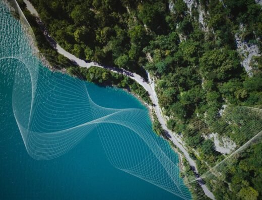
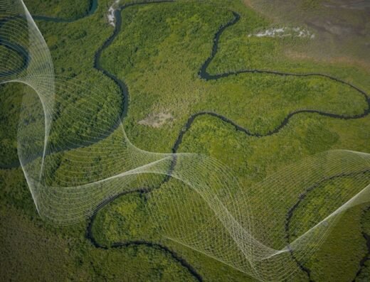
Carbomap wants everyone to be able to access Earth observation data.
Carbomap designs and sells ready-to-assemble Earth observation tools, deforestation software and DIY web-platforms, amongst other useful geospatial analysis products and occasionally consulting services. Our mission is to make remotely sensed environmental data more affordable and accessible to all.
Carbomap have an international reputation in remote sensing methodologies; lidar forest mapping, satellite radar mapping, and measuring forest structure, carbon sequestration, as well as managing airborne and UAV surveys. We are leading this emerging market, having worked with government agencies, NGO’s and research institutes. If you want to join our growing client base, and have your forests mapped, then get in touch below.